MAP OF STAGE 3(2025)
Distance: 8.26 km – Average Walking Time: 2 hrs.
Stage 3 of the Laura Secord Legacy Trail begins at the transit loop at Niagara College. Stage 3 is the most urbanized section of the walk, taking you through urban parks and along city sidewalks. Much has changed since the day Laura Secord passed through the small settlement of Shipman’s Corners. This stage of the walk provides you with a fascinating overview of how industry, transport, population growth and economic development have caused the landscape to evolve in the past 200 years.
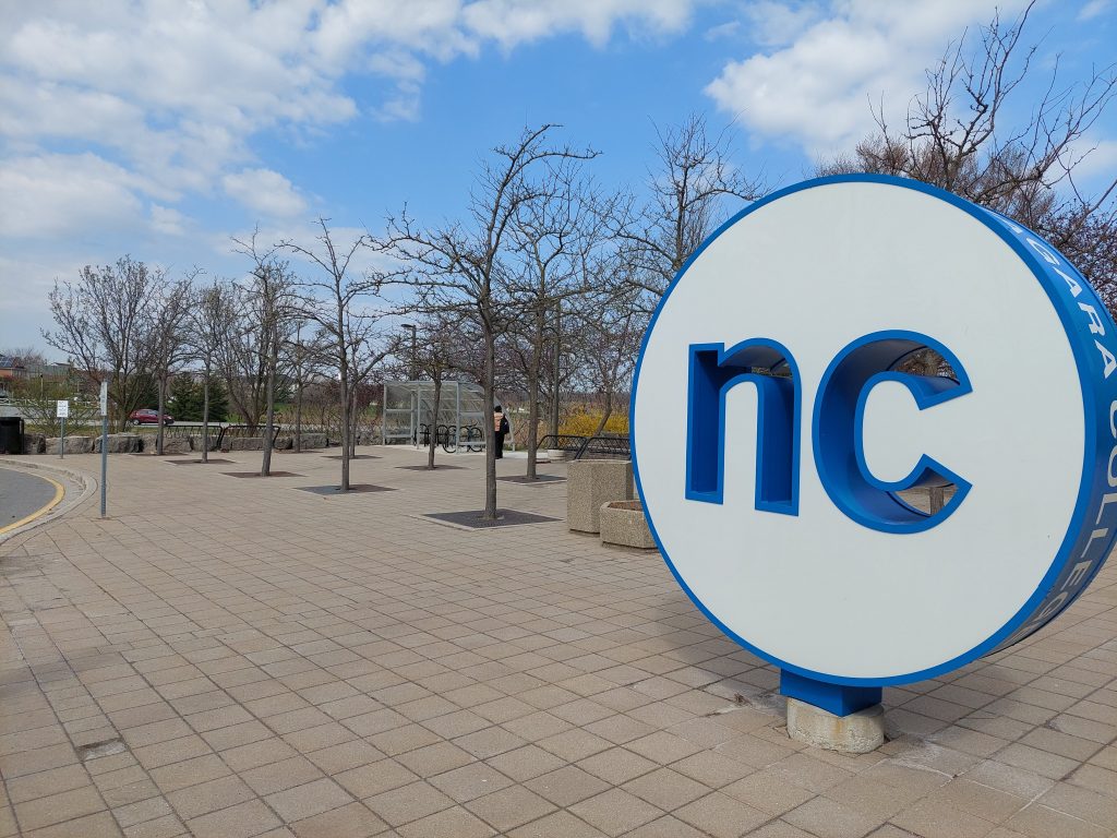
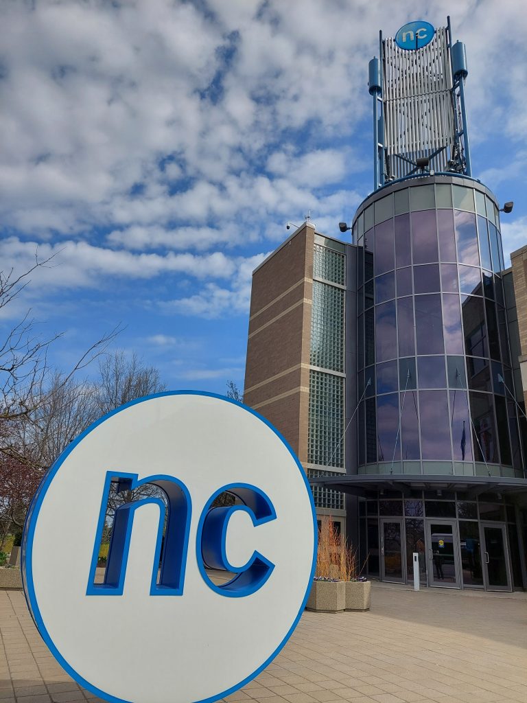
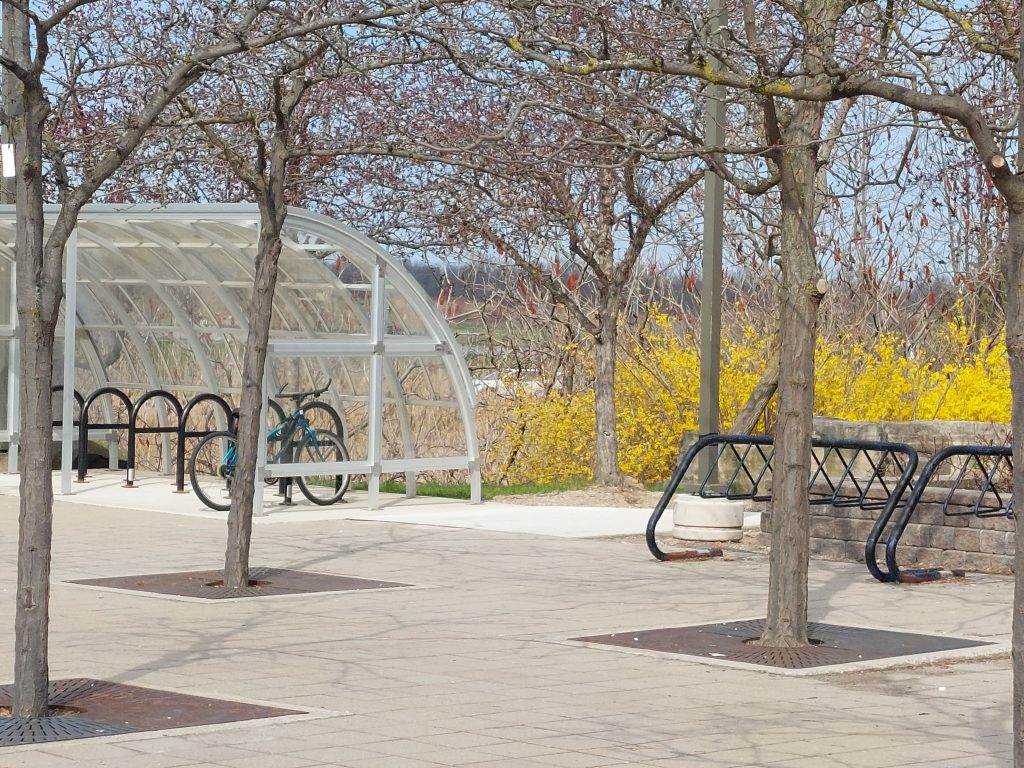
Stage 3 begins at the bus stop beside the big blue ‘nc’ logo, at the main entrance to Niagara College. You will make your way past the bike racks and follow the path to the intersection of Taylor Road and Glendale Avenue.
You will cross Glendale Avenue and walk along the sidewalk on Taylor Road in front of the Outlet Collection at Niagara.
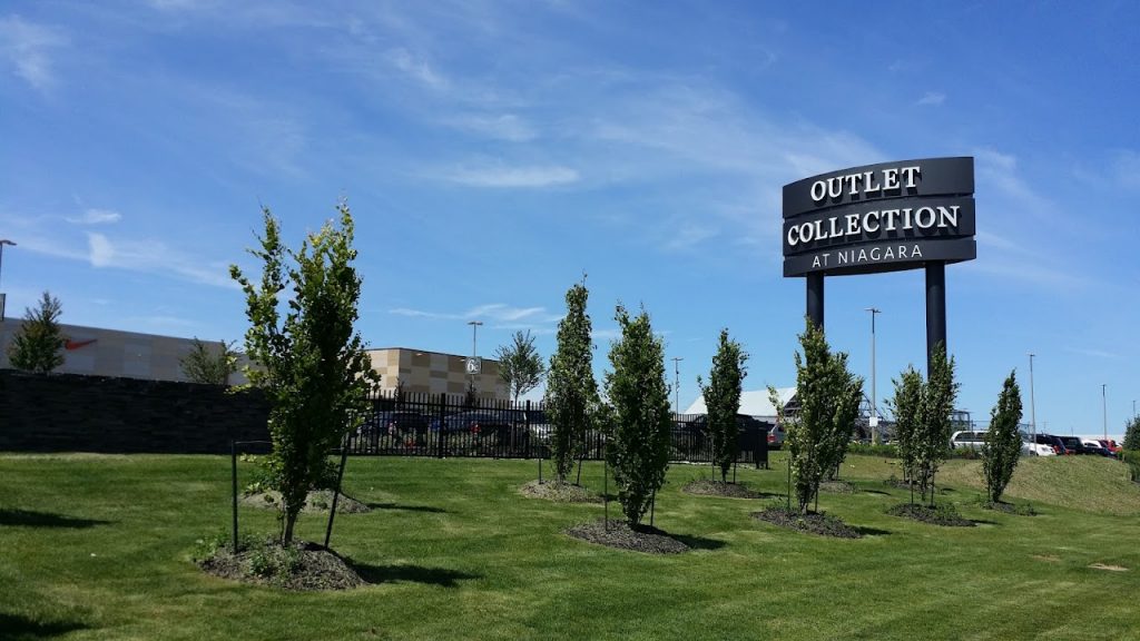
At the Outlet Collection at Niagara mall, you have two choices: 1) follow the sidewalk along Taylor Road to bypass the mall, or 2) indulge in some refreshment or retail therapy by walking through the mall, providing an opportunity to stop, rest, use the washroom facilities, and perhaps grab a bite at the food court before continuing on your way.
You will walk along Taylor Road in front of Leon’s Furniture and pass the intersection with Homer Road (named after the all-but-forgotten Village of Homer that Laura Secord walked through on her trek).
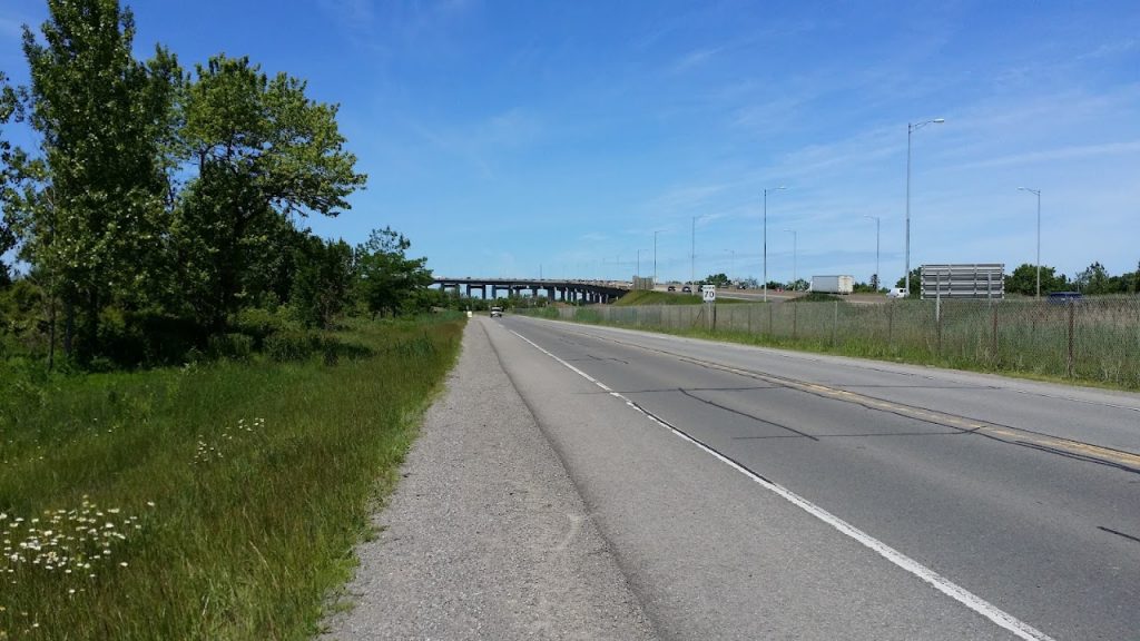
Carefully cross Homer Road at the intersection of Taylor Road, then follow Taylor Road west. Taylor Road will curve north and approach the Garden City Skyway at the York Road traffic lights. Turn left at the intersection of York Road (which soon becomes Queenston Street), and walk over the Homer Bridge across the Fourth Welland Canal (formerly Ten Mile Creek).
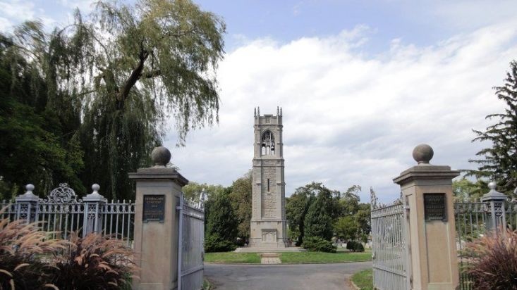
You’ll follow urban sidewalks along Queenston Street (the old Iroquois Trail) past tranquil Victoria Lawn Cemetery, then head west on Eastchester Road to Richard Pierpoint Park. The parklands surround the valley of Dick’s Creek, where the First Welland Canal was located.
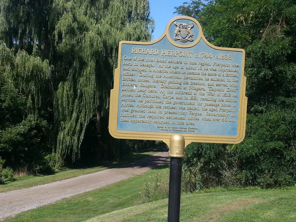
The paths and trails of Richard Pierpoint Park provide a welcome – and very historic – green oasis in the heart of St. Catharines. At the foot of Eastchester Road, you will pass a plaque honouring the Park’s namesake hero of the War of 1812, Captain Richard ‘Dick’ Pierpoint – a former slave who became one of the first free Black settlers in the region, serving with Butler’s Rangers and founding the celebrated Coloured Corps who aided the British in the War of 1812. DIck’s Creek was named after him, as he was granted land in this area in recognition of his loyal service to the British crown.
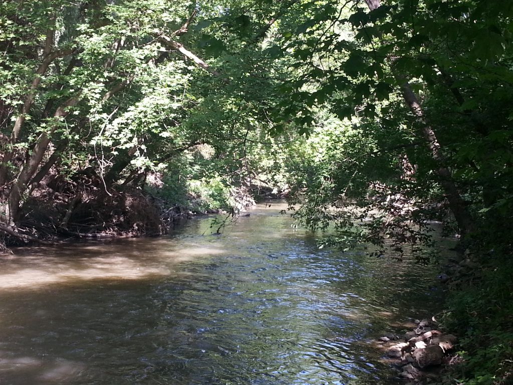
Further down the path, you will be able to discern the edge of Dick’s Creek, the watercourse presumably named in Pierpoint’s Honour.
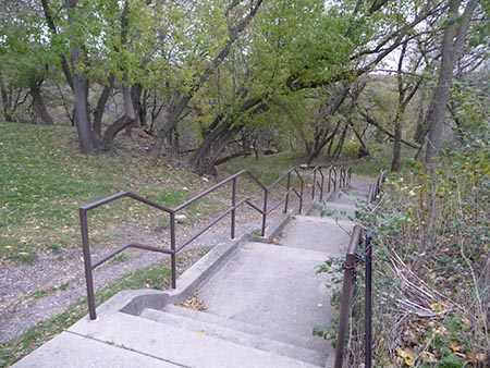
You will ascend the stairway to Gale Crescent, cross Geneva Street, and travel southwest on Race Street, which turns into Maguire Street after you pass the back of the First Ontario Performing Arts Centre.
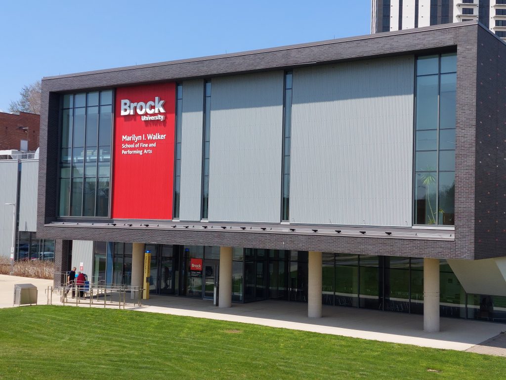
You’ll arrive at the Marilyn I. Walker School for Fine and Performing Arts, the downtown St. Catharines campus of Brock University.
Before you pass the Marilyn I. Walker complex, you will see stairs and a pathway that heads between the FirstOntario Performing Arts Centre and the Walker building. Follow that path to the back of the building.
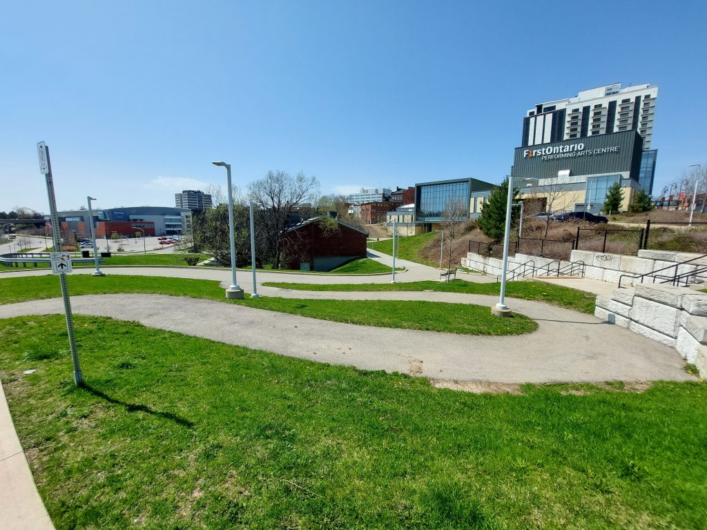
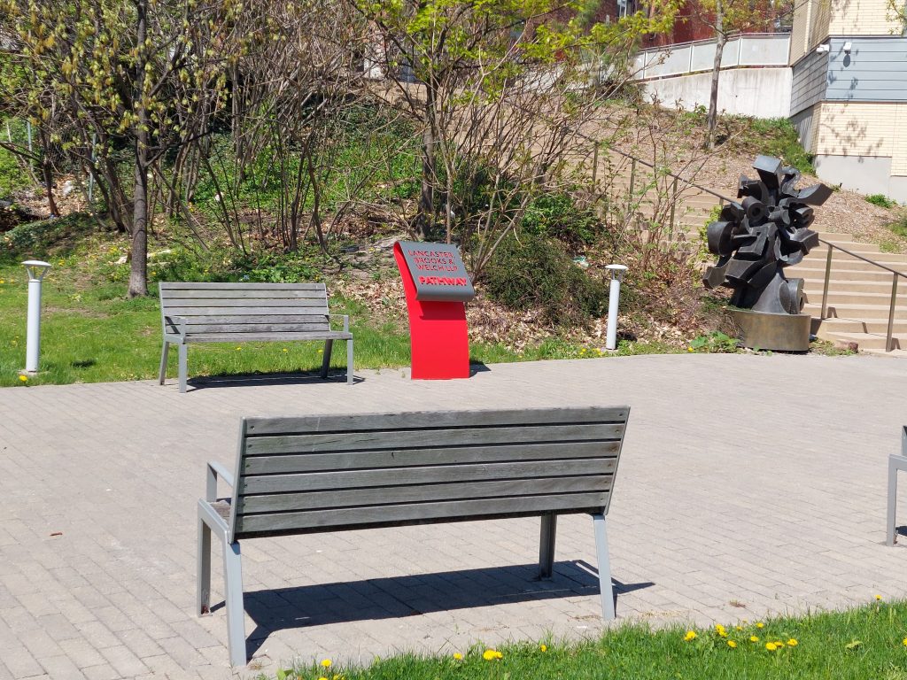
Stage 3 of the trail ends at Mann Raceway Plaza, a parkette on the Lancaster, Brooks & Welch LLP Pathway behind the Marilyn I. Walker complex. There are some benches where you can relax for awhile before continuing along Stage 4 of the trail, which begins here.