MAPS AND TURN-BY-TURN TRAIL GUIDES
TURN BY TURN TRAIL GUIDE
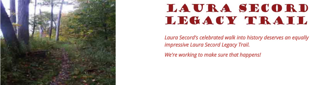
A turn-by-turn guide to the Laura Secord Legacy Trail is available below in downloadable PDF version or in a mobile-accessible web version.
Please note that THERE HAVE BEEN SOME RECENT CHANGES TO THE ROUTE OF THE LAURA SECORD LEGACY TRAIL.Watch this website for further updates!
| TURN-BY-TURN TRAIL GUIDE – August 2025 UPDATED VERSION! |
DOWNLOAD PDF |
MAPS of the LAURA SECORD LEGACY TRAIL
Overview maps and interactive Google maps of the five stages of the Laura Secord Legacy Trail are available for downloading below.
Note that because the trail is 32 km long, you would need many printed maps for detailed trail navigation.
The most convenient way to navigate the Laura Secord Legacy Trail is to download the free GuideTags digital interpretive app for wayfinding and automatically triggered multimedia storytelling on your smartphone as you walk.
Before heading out, we recommend that you review the online Google maps on this page and the overview pages for each stage of the trail to familiarize yourself with the features and trajectoryof the trail sections you will be walking on.
You may also wish to a link to this trail guide page in the web browser of your mobile device so that you can access them in the field. You can zoom in on these maps to any level on your mobile device.
Click on the links below to view the maps of the Laura Secord Legacy Trail.| STAGE 1: SECORD HOMESTEAD TO FIREMEN’S PARK: | GOOGLE MAP (2025) |
| STAGE 2: FIREMEN’S PARK TO NIAGARA COLLEGE: | GOOGLE MAP (2025) |
| STAGE 3: NIAGARA COLLEGE TO MARILYN I. WALKER CAMPUS OF BROCK UNIVERSITY: | GOOGLE MAP (2025) |
| STAGE 4: MARILYN I. WALKER CAMPUS OF BROCK UNIVERSITY TO ROTARY PARK: | GOOGLE MAP (2025) |
| STAGE 5: ROTARY PARK TO DECEW HOUSE: | GOOGLE MAP (2025) |
| LEGACY MAP OF ORIGINAL LAURA SECORD LEGACY TRAIL: | GOOGLE MAP (2016) |
SATELLITE MAP (2013) |
BASE MAP (2013) |